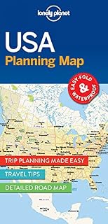
USA Planning Map by Amazonundefined
- • Długość
- • Język
- • Data publikacji
- • Wymiary
Description
Get more from your map and your trip with images and information about top country attractions, itinerary suggestions, a transport guide, planning information, themed lists and practical travel tips. Durable and waterproof. Easy-fold format and convenient size. Handy slipcase. Full colour and easy-to-use. Before-you-go info. Beautiful imagery. Tailored itineraries. Cant-miss regional highlights. Detailed town index. Transport planner. Themed lists.
Coverage Includes:
New York City, Washington, DC, Boston, New England, Walt Disney World, Miami, The Everglades, New Orleans, Nashville, Blue Ridge Parkway, Las Vegas, Grand Canyon National Park, Austin & San Antonio, Los Angeles, Pacific Coast Highways, San Francisco, Seattle, Chicago, Yellowstone National Park, Rocky Mountains, Route 66, Great Lakes.
Full Map Dimensions: 63.5 cm x 49.5 cm (25 in. x 19.5 in.)
Product information
- Wydawca:GeoPlaneta
- ISBN-10:178657909X
- ISBN-13:978-1786579096
- Author:Lonely Planet Publications
Explore other categories
Other products from Nauki o Ziemi: